
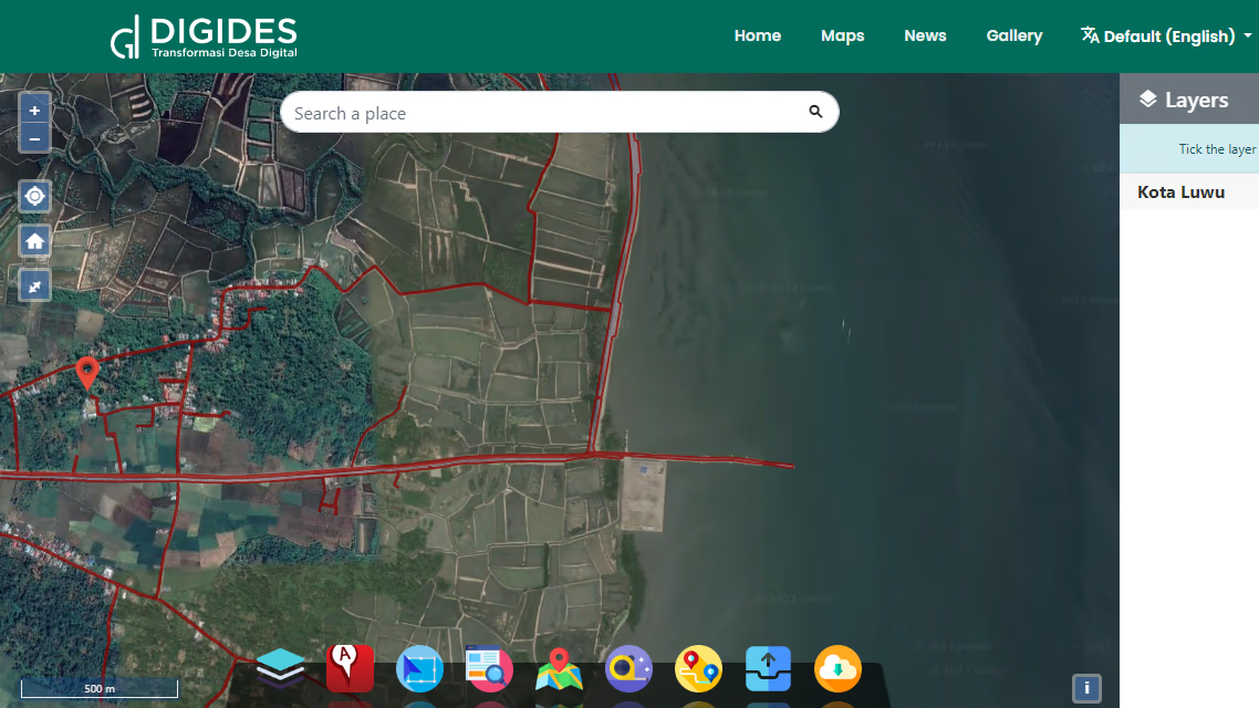
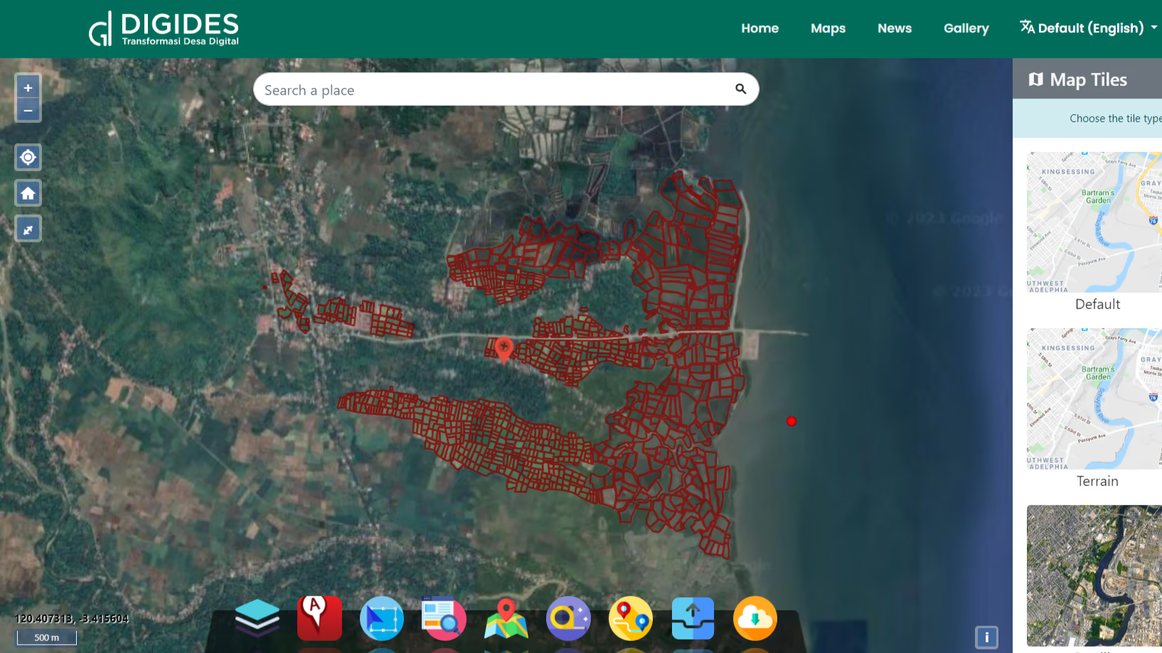
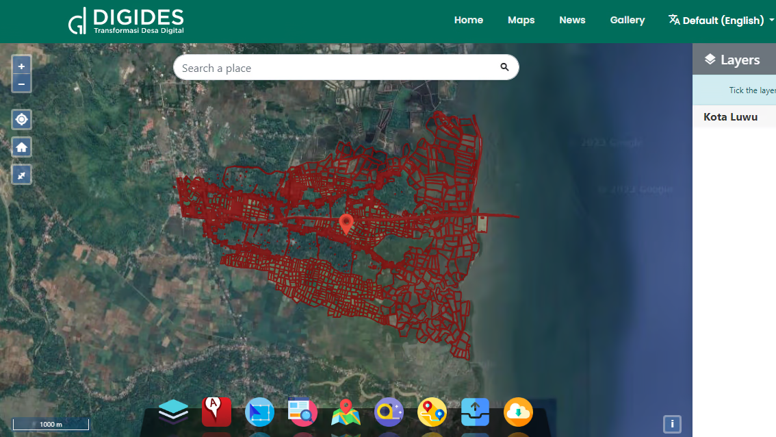
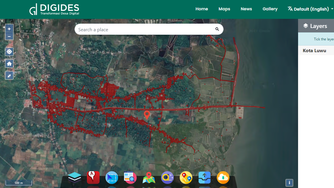
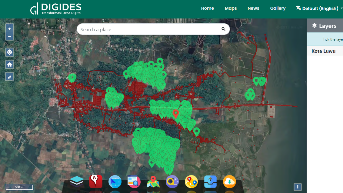
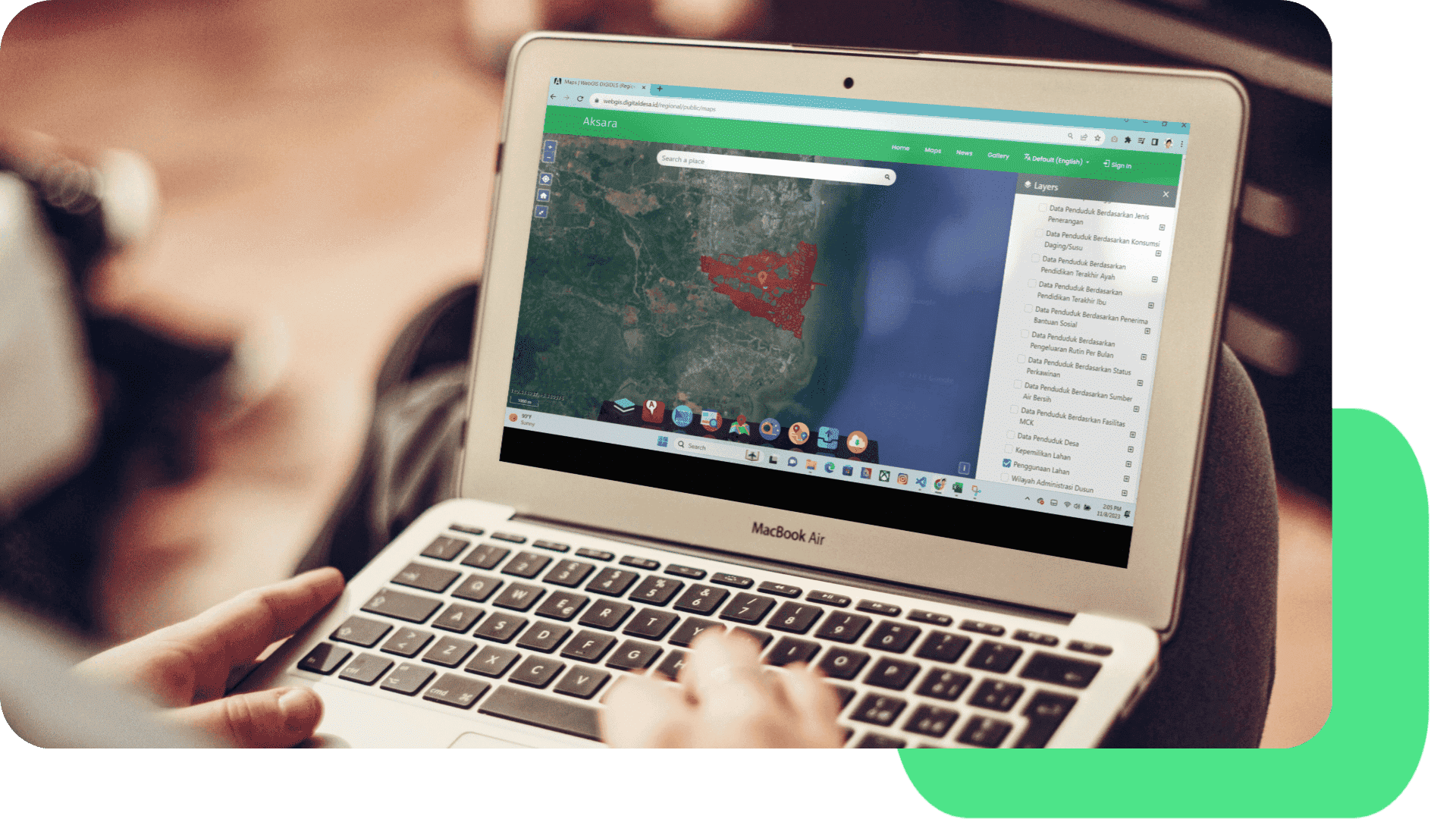
WebGIS DIGIDES (Regional)
WebGIS Village Maps are a valuable resource for village communities, government, and various parties involved in regional planning and management. With a wide range of services offered, we assist in village mapping, environmental monitoring and sustainable decision making.
Benefits of WebGIS Village Maps
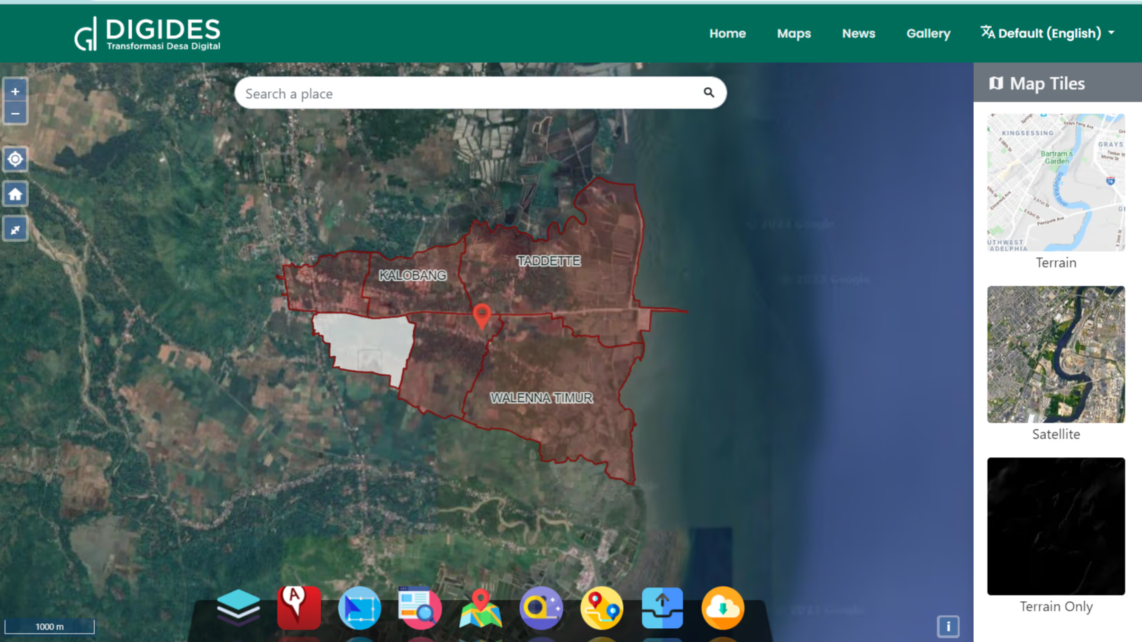
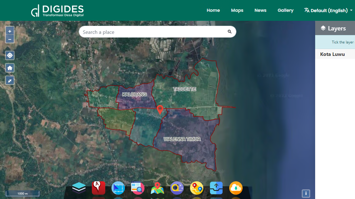
Administration Map
The Village Administration Map is a graphic representation of village boundaries, administrative areas, and the division of village land into hamlets or RT/RW. The information listed on this map includes the location of village government offices, schools, health centers and other public facilities. This map is very important in understanding the administrative structure of the village and provides a comprehensive picture of the distribution of resources and services within it.
Topographic Map
Topographic maps provide information about the relief and contours of land in an area, including rivers, hills, valleys, and other natural features. This map is a very useful tool in land use planning, drainage management, and optimal use of natural resources. By understanding topography, communities and village governments can make the right decisions regarding development and environmental preservation.
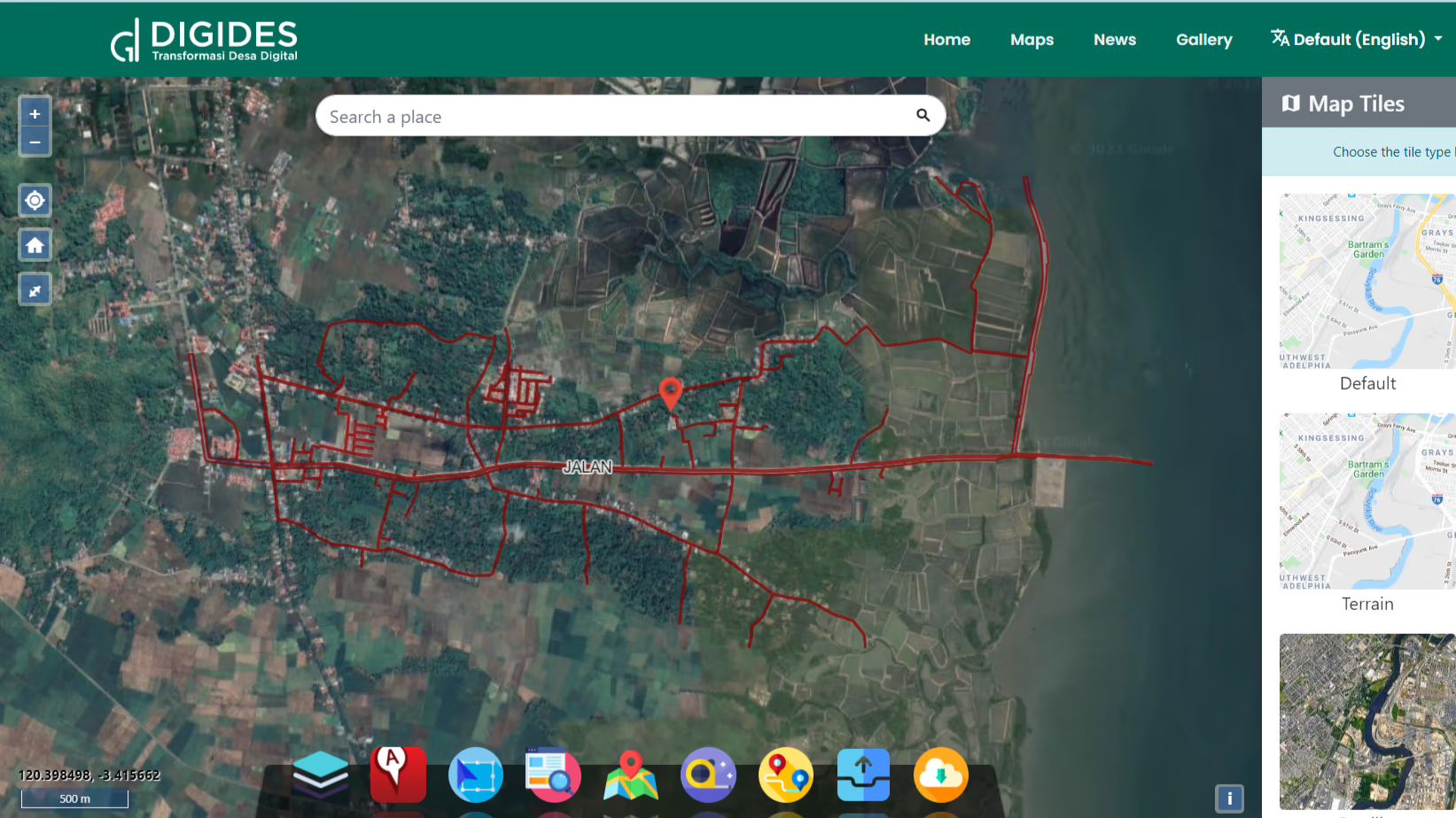
Village Road Map
The Village Road Map provides an overview of the road network and transportation routes within the village. These maps help in daily navigation and road repair planning. By understanding the structure of village roads, the government and residents can work together to improve transportation infrastructure and facilitate accessibility in the village.
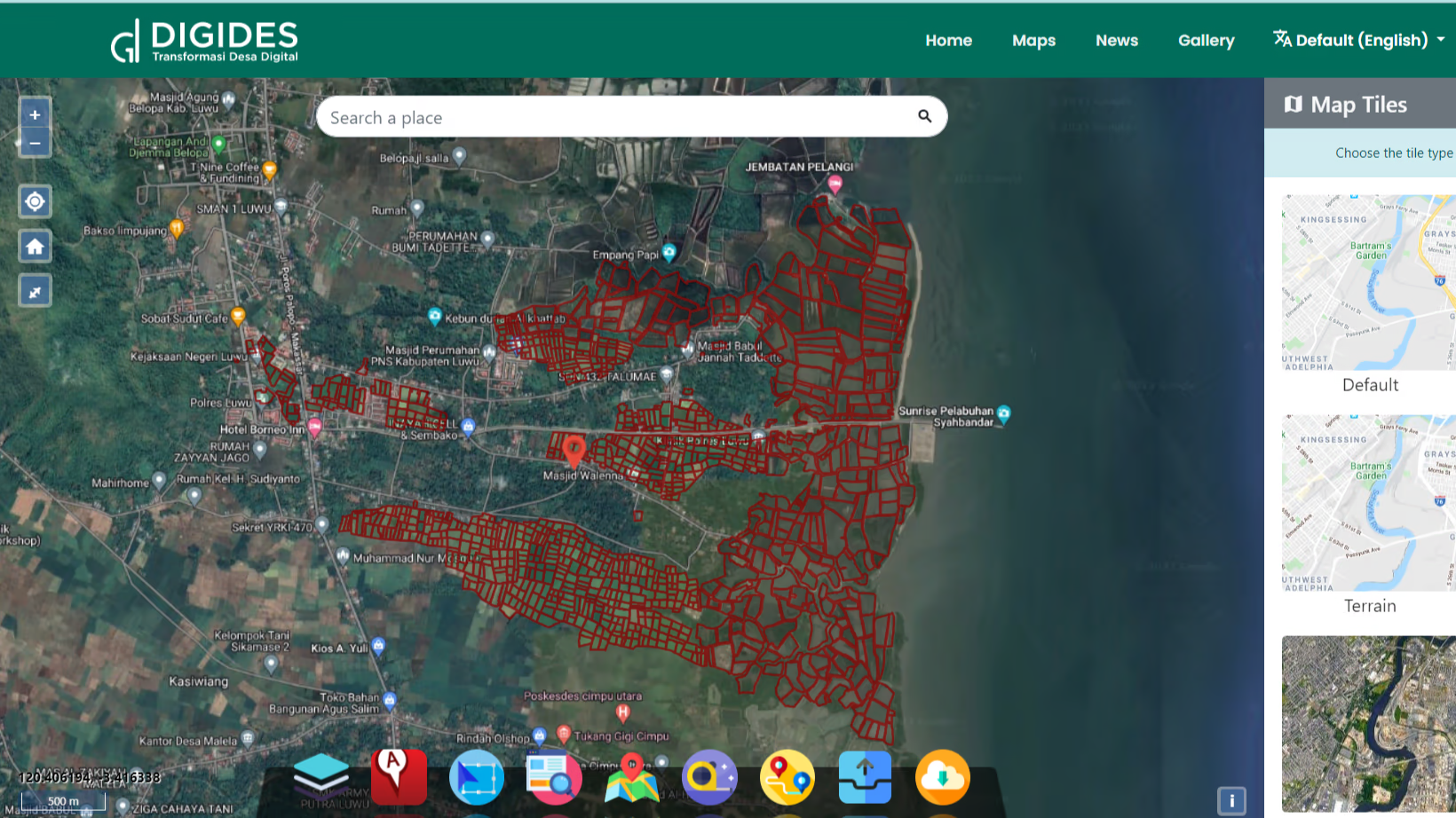
Village Aset Map
The Village Asset Map includes information about village assets, such as agricultural land, forests and cultivated land. This information helps in agricultural planning and sustainable management of natural resources. This map can also be used to monitor changes in land use and maintain the balance of the village ecosystem.
Tourism Potential Map
If the village has tourism potential, the Tourism Potential Map will show the location of interesting places, such as historical places, natural tourist attractions and tourist facilities. This map is useful in developing the local tourism sector, increasing tourist visits, and promoting the cultural heritage and natural beauty of the village.
Economic Potential Map
The Economic Potential Map includes information about economic opportunities in the village, including the location of micro and small businesses, shops and other commercial facilities. This map helps the government and local entrepreneurs to identify and develop economic sectors that can increase the income and welfare of village communities.
Land Use Map
Land Use Maps show how land in villages is used for various purposes, such as agriculture, housing, commercial and green areas. This map provides a holistic view of village development and is the basis for sustainable regional development planning.
Accessibilty Map
The Accessibility Map highlights the location of transportation facilities, such as bus stations, toll roads, and nearby airports, as well as the distance from villages to these locations. This information is very important for measuring the level of accessibility and connectivity of villages with the surrounding area, which can have an impact on economic growth and welfare of village communities.
Natural Resource Map
The Natural Resources Map includes information about natural resources in the village, such as springs, forests and mines. This map is useful in environmental management and sustainability planning, helping governments and village communities to care for and use natural resources wisely.
Advantages of Webgis Village Maps
Affordable village map
The mapping solutions provided will not burden the village's finances or budget. In other words, the cost of using this village map is very affordable and can be accessed by villages without having to spend a large budget.
Fast Village Map
Village map will be available in no time. This supports faster decision making, because the required geographic information can be accessed quickly and does not require a long time to process.

Easy Integration
This village map is designed to be easily integrated with Web GIS (Web Based Geographic Information System) technology. In other words, village maps can be easily linked to web GIS technology to enable easier access and analysis of important data.
Access Anywhere
Villagers can access village maps anywhere, as long as they are connected to the WebGIS platform provided. They don't need to be in the physical location of the village to get the geographic information they need.

live map
This village map can be updated in real-time according to changes that occur in the field. This means that if there are changes such as changes in land use or the addition of new facilities, the village map will be immediately updated so that the information available is always the latest. This is very important for accurate decision making.
Total User

3
Total register village

23
Total register location

47744
Total data and citizen categories